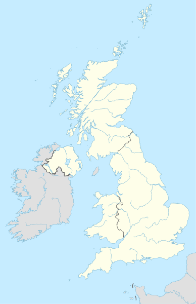
Ficheiro:United Kingdom adm location map.svg

Tamaño desta vista previa en PNG do ficheiro en formato SVG: 388 × 600 píxeles. Outras resolucións: 155 × 240 píxeles | 310 × 480 píxeles | 497 × 768 píxeles | 663 × 1.024 píxeles | 1.325 × 2.048 píxeles | 886 × 1.369 píxeles.
Ficheiro orixinal (ficheiro SVG; resolución de 886 × 1.369 píxeles; tamaño do ficheiro: 703 kB)
Historial do ficheiro
Prema nunha data/hora para ver o ficheiro tal e como estaba nese momento.
| Data/Hora | Miniatura | Dimensións | Usuario | Comentario | |
|---|---|---|---|---|---|
| actual | 28 de abril de 2015 ás 20:13 |  | 886 × 1.369 (703 kB) | NordNordWest | == {{int:filedesc}} == {{Information |Description= {{de|1=Positionskarte des Vereinigten Königreichs}} {{en|1=Location map of the United Kingdom}} {{Location map series N |stretching=170 |top=61.0 |bottom=49.0 |left=-11.0 |right=2.2 }} |Source={{Own u... |
Uso do ficheiro
As seguintes 19 páxinas usan este ficheiro:
- Acueduto de Pontcysyllte
- Corazón neolítico das Orcadas
- Costa Xurásica
- Desfiladeiro de Ironbridge
- Distrito dos Lagos
- Limites romani
- New Lanark
- Paisaxe industrial de Blaenavon
- Paisaxe mineira de Cornualla e Devon oeste
- Palacio de Buckingham
- Patrimonio da Humanidade no Reino Unido
- Ponte do Forth
- Saltaire
- San Kilda
- Stonehenge
- Stonehenge, Avebury e sitios relacionados
- Modelo:Mapa de localización
- Modelo:Mapa de localización/uso
- Modelo:Mapa de localización de Reino Unido
Uso global do ficheiro
Os seguintes wikis empregan esta imaxe:
- Uso en ab.wikipedia.org
- Uso en af.wikipedia.org
- Uso en als.wikipedia.org
- Uso en an.wikipedia.org
- Londres
- Oxford
- Edimburgo
- Bristón
- Seu de Bristón
- Muro d'Hadrián
- Seu de Saint Albans
- Castiello de Dintagell
- Aeropuerto de Londres-Stansted
- Birmingham
- Blackburn
- Bolton
- Liverpool
- Manchester
- Newcastle upon Tyne
- Norwich
- Stoke-on-Trent
- Sunderland
- Abertawe
- Castiello de Windsor
- Seu de Sant Pavlo de Londres
- Cambridge
- Llanfairpwllgwyngyllgogerychwyrndrobwllllantysiliogogogoch
- Estadio de White City
- Plantilla:Mapa de localización Reino Uniu
- Saint-Pierre-Port
- Saint-Hélier
- Doolish
- Glasgow
- Caerdydd
- Southampton
- York
- Leeds
- Sheffield
- Leicester
- Coventry
- Aberdeen
Ollar o uso global deste ficheiro.


