
Ficheiro:Rottnest Island.jpg
Tamaño desta vista previa: 800 × 399 píxeles. Outras resolucións: 320 × 159 píxeles | 857 × 427 píxeles.
Ficheiro orixinal (857 × 427 píxeles; tamaño do ficheiro: 47 kB; tipo MIME: image/jpeg)
| Este ficheiro procede de Wikimedia Commons. A continuación móstrase a información da súa páxina de descrición. Commons é un repositorio libre de ficheiros multimedia. Pode contribuír alí cargando as súas imaxes. |
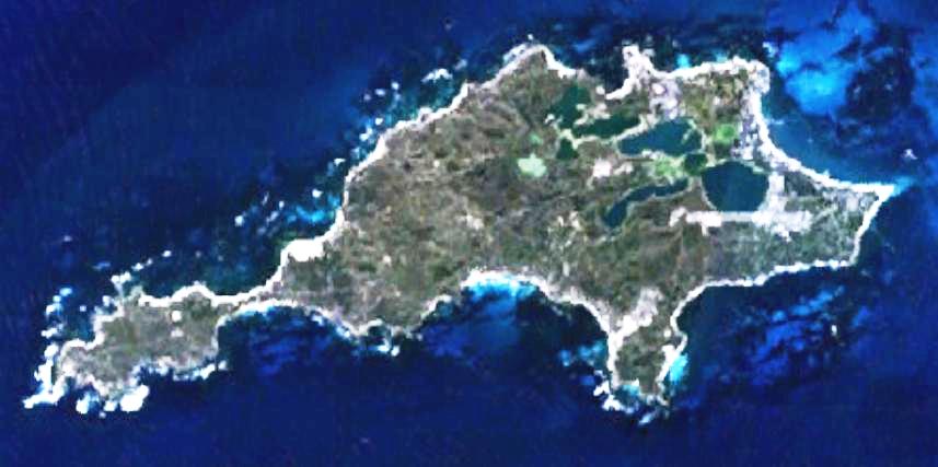
| Descrición | This is a map of the Rottnest Island, Western Australia. | |||
| Orixe | It was made by the uploader using NASA World Wind using Landsat 7 data. | |||
| Autoría | Created by the uploader. Any IP involved in the creation of this image is released into the public domain. | |||
| Licenza (Reuso deste ficheiro) |
|

Historial do ficheiro
Prema nunha data/hora para ver o ficheiro tal e como estaba nese momento.
| Data/Hora | Miniatura | Dimensións | Usuario | Comentario | |
|---|---|---|---|---|---|
| actual | 23 de xuño de 2008 ás 23:28 | | 857 × 427 (47 kB) | Hesperian | Reverted to version as of 01:37, 1 May 2007 |
| 1 de maio de 2007 ás 01:37 |  | 857 × 427 (47 kB) | Moondyne | {{Information |Description=This is a map of the Rottnest Island, Western Australia, made with World Wind using Landsat 7 data. (Adjusted for contrast) |Source= |Date= |Author=Created by the uploader. Any IP involved in the creation of this image is relea | |
| 16 de novembro de 2006 ás 03:16 |  | 857 × 427 (38 kB) | Hesperian | {{Information |Description=This is a map of the Rottnest Island, Western Australia, made with World Wind using Landsat 7 data. |Source= |Date= |Author=Created by the uploader. Any IP involved in the creation of this image is released into the public domai |
Uso do ficheiro
A seguinte páxina usa este ficheiro:
Uso global do ficheiro
Os seguintes wikis empregan esta imaxe:
- Uso en cs.wikipedia.org
- Uso en en.wikipedia.org
- Uso en fa.wikipedia.org
- Uso en fi.wikipedia.org
- Uso en fr.wikipedia.org
- Uso en he.wikipedia.org
- Uso en id.wikipedia.org
- Uso en ja.wikipedia.org
- Uso en ru.wikipedia.org
- Uso en ur.wikipedia.org
- Uso en www.wikidata.org
- Uso en zh-yue.wikipedia.org
- Uso en zh.wikipedia.org