
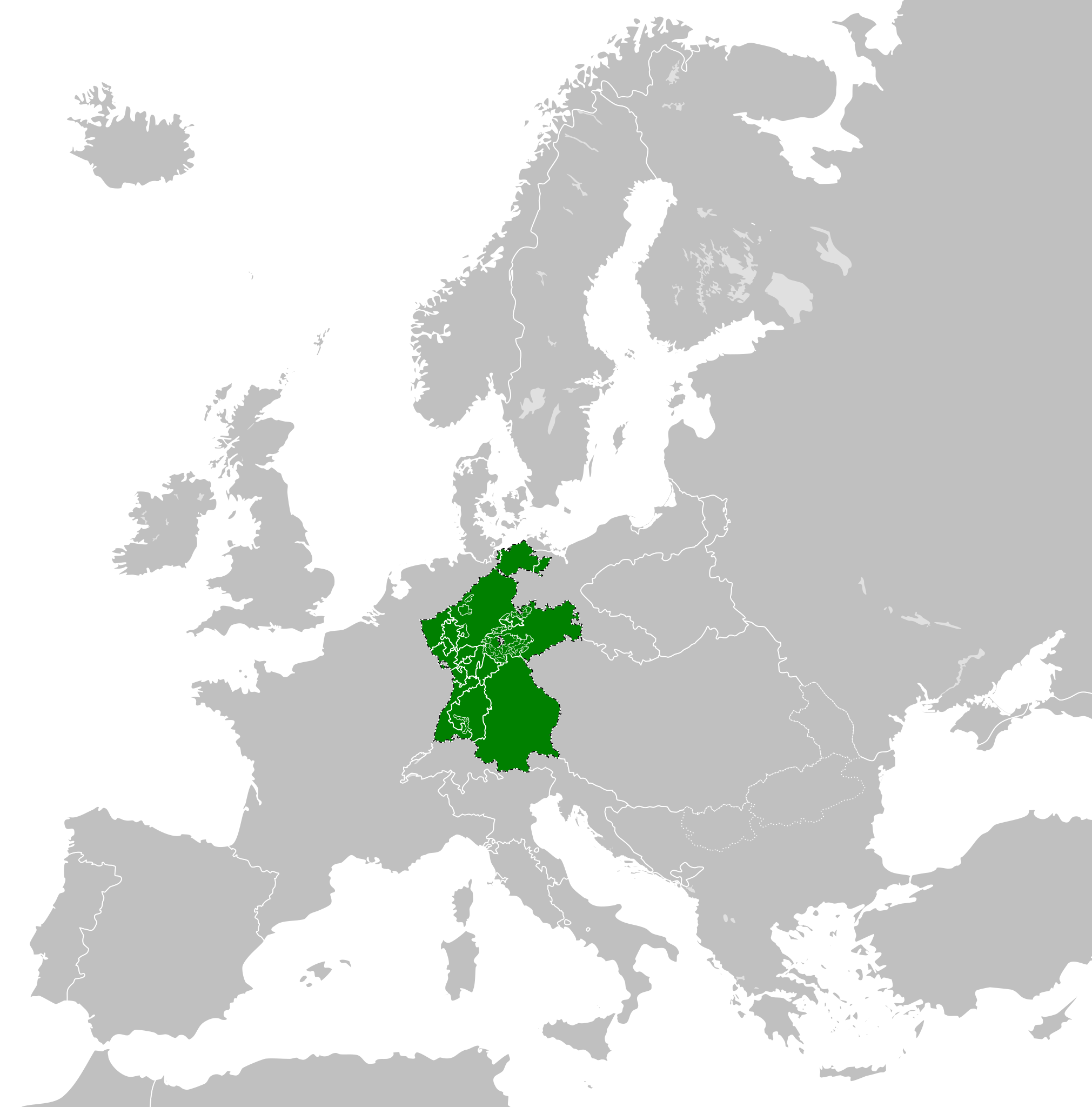
Ficheiro:Confederation of the Rhine (1812).svg

Tamaño desta vista previa en PNG do ficheiro en formato SVG: 450 × 456 píxeles. Outras resolucións: 237 × 240 píxeles | 474 × 480 píxeles | 758 × 768 píxeles | 1.011 × 1.024 píxeles | 2.021 × 2.048 píxeles.
Ficheiro orixinal (ficheiro SVG; resolución de 450 × 456 píxeles; tamaño do ficheiro: 611 kB)
| Este ficheiro procede de Wikimedia Commons. A continuación móstrase a información da súa páxina de descrición. Commons é un repositorio libre de ficheiros multimedia. Pode contribuír alí cargando as súas imaxes. |
Resumo


.svg)
.svg)
.svg)
.svg)
.svg)


.svg)
.svg)
.svg)


.png)
.png)


.svg)


.svg)

.svg)


.svg)
.svg)
.svg)
.svg)


.svg)
.png)


.svg)


.svg)
.svg)


.svg)


.svg)


.svg)
.svg)
.svg)
.svg)
.svg)
.svg)
.svg)
.svg)
_cropped.svg)
.svg)
.svg)
.svg)
.svg)
.svg)
.svg)
.svg)
.svg)
.svg)
.svg)
.svg)
.svg)
.svg)
.svg)
.svg)
.svg)
.svg)
.svg)
.svg)
.svg)
.svg)
.svg)
.svg)
.svg)
.svg)
.svg)
.svg)
.svg)
.svg)
.svg)
.svg)
.svg)
.svg)
.svg)
.svg)
.svg)
.svg)
.svg)
.svg)
.svg)
.svg)
.svg)
.svg)
.svg)
.svg)
Historial do ficheiro
Prema nunha data/hora para ver o ficheiro tal e como estaba nese momento.
| Data/Hora | Miniatura | Dimensións | Usuario | Comentario | |
|---|---|---|---|---|---|
| actual | 5 de xaneiro de 2018 ás 14:59 | | 450 × 456 (611 kB) | TRAJAN 117 | +++ |
| 3 de outubro de 2013 ás 15:35 |  | 450 × 456 (607 kB) | Alphathon | Added constituent states | |
| 30 de xullo de 2012 ás 18:34 |  | 450 × 456 (464 kB) | Alphathon | Fixed some principalities | |
| 23 de febreiro de 2012 ás 17:07 |  | 450 × 456 (444 kB) | TRAJAN 117 | {{Information |Description ={{en|1=The Confederation of the Rhine in 1812.}} |Source ={{own}} {{AttribSVG|First French Empire 1812.svg|Alphathon}} |Author =25px '''[[User:TRAJAN 117|TRAJAN 1... |
Uso do ficheiro
A seguinte páxina usa este ficheiro:
Uso global do ficheiro
Os seguintes wikis empregan esta imaxe:
- Uso en ast.wikipedia.org
- Uso en azb.wikipedia.org
- Uso en be.wikipedia.org
- Uso en cs.wikipedia.org
- Uso en da.wikipedia.org
- Uso en de.wikipedia.org
- Uso en el.wikipedia.org
- Uso en en.wikipedia.org
- Uso en es.wikipedia.org
- Uso en eu.wikipedia.org
- Uso en fi.wikipedia.org
- Uso en gd.wikipedia.org
- Uso en he.wikipedia.org
- Uso en hr.wikipedia.org
- Uso en hu.wikipedia.org
- Uso en id.wikipedia.org
- Uso en it.wikipedia.org
- Uso en ja.wikipedia.org
- Uso en ko.wikipedia.org
- Uso en lt.wikipedia.org
- Uso en lv.wikipedia.org
- Uso en mk.wikipedia.org
- Uso en mn.wikipedia.org
- Uso en ms.wikipedia.org
- Uso en pl.wikipedia.org
- Uso en pt.wikipedia.org
- Uso en ru.wikipedia.org
- Uso en sco.wikipedia.org
- Uso en sk.wikipedia.org
- Uso en sl.wikipedia.org
- Uso en sv.wikipedia.org
- Uso en th.wikipedia.org
- Uso en tr.wikipedia.org
- Uso en www.wikidata.org
- Uso en zh-yue.wikipedia.org
- Uso en zh.wikipedia.org
.svg)